Monday, May 2, 2011

From Lakes & Streams to Glaciers!

     Competence refers to how big a particle the stream can carry whereas capacity refers to how much material a stream can carry. If a stream has a low competence it would have much smaller particles than compared to a stream with high competence, which could be carrying boulders!

When the waters reach bankful, bankful discharge occurs in which the water topples over and creates levees. Then the channel recedes and it creates cutoffs. The deeper point of the river tends to be around the cutbank. I'd like to point out that even though there are no valleys in the above picture, whenever you see a V-shaped valley, one can assume it was formed by rivers.


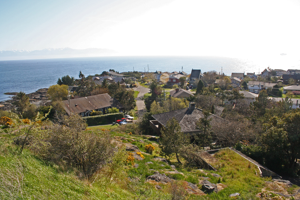
  Something I enjoyed learning about was longshore drift. This kind of wave drift causes waves to bend, refract as the water slows down, and change position in how it hits the beach. As the swash comes in, it crashes into the headlands, then it goes back out as backwash.                       

    
     Glaciers scour the land as they recede, leaving behind things like kettle or trough lakes. Kettles are the depressions, in which water can fill, left from stagnant ice. When you see huge boulders left over in the landscape, it is posible they could be glacial erratics. On a separate note, outwash plains form from the melting of the ice from the volcano rushing over the landscape. 


Throughout time, water has remained one of the most important things to humans. In the beginning, water determined where early civilizations settled and grew. Now water is affecting us through concepts like glacial ablation.


Pictures Provided From:
http://www.diversedirections.net/tour1.html

http://www.123rf.com/photo_7248027_splashing-waves-on-the-atlantic-beach-near-biarritz-aquitaine-in-france.html

http://hill-stations.tourtravelworld.com/peak-glaciers/aiguille-du-dru.htm

Wednesday, April 6, 2011

Clouds and Fogs of France.


I enjoy this picture because not only does it illuminate the Canal du Midi in Béziers, it also shows what I think are
nimbostratus clouds because they look as if they could bring rain. However, they are somewhat vertical in shape which would lead me to speculate that they are cumulus clouds.

This is the Cathedral Saint-Nazaire of Béziers in Languedoc.
 This picture shows a breath taking sunset that I am sure the French are captivated by! The colors in the sky are made by the scattering of light as it hits various particles in the air.

    There are three kinds of fog:  advection, radiation, and valley fog. The first needs both westerly winds and a cold current to make it possible. It can be very dangerous for drivers because sometimes it can be very thick. Radiation fog happens when the ground, which is chilled by long-wave radiation, chills the air by means of conduction until the dew point is reached. And lastly, we get valley fog from cold air draining down from surrounding mountains.
     As soon as the temperature on the ground matches the temperature in the air, the fog will dissipate because the moisture has been evened out.


The Sèvre Niortaise River in France demonstrates a wonderful fog just over the water!
The picture portrays clear and blue skies and it appears as if there is little wind.
This would lead me to believe it is radiation fog, but it is not
over the ground. Therefore, this fog which is possibly
moving inland, could be advection fog.

     In terms of pressure variations, there are two kinds:  thermal and dynamic. Warm air converges and rises, then it diverges, cools, and drops. As the third law of geography states air always flows from high to low pressure, which gives us our diurnal flows.

    
I really enjoyed learning about Earth’s natural radiation balance. 
This fresh and glowing powder must have a very high albedo!

      Albedo is the insulation that is reflected. Therefore it would make sense that dark colors have a low albedo, whereas light colors like white, fresh snow have a high albedo. This is because the fresh snow reflects almost all the light it receives.

Thursday, March 3, 2011

Soils, Rocks, and Weathering... Oh My!


This picture demonstrates a beautifully sloping landscape and a great variety of vegetation. Soil is comprised mainly of four things:  air, various minerals, organic matter and water. These components interact with all of our many spheres to do things like help plants grow. This is something very beneficial to humans in terms of nutrition and medicinal purposes.

     I learned in class that there needs to be cations exchanging the colloids to have good, happy dirt, which in turn increases the chance of successful plant growth. When there is a good CEC, brought on by flocculation, the soil will be healthy and fertile. I find it interesting just how long it takes for soil to settle, making it a pretty precious resource to us if it takes that long to develop.
   

This lovely map of France shows how the city of Beziers is located on the coast of the Gulf of Lion, which leads to the Mediterranean Sea. This town has a somewhat humid climate, which in turn permits the ground to be comprised of less air and more soil. The dominant materials existing in Beziers are alluvial deposits.

This picture, taken from a fellow traveler, shows a marvelous view from one of the many churches in Beziers. The grass looks so healthy, it must have a great pH balance! Towards the right in the above picture is a colorful and weathered rock which has frequently spaced fractures, or joints.


     Physical weathering uses the joints to split the rock into smaller pieces. When this happens, it speeds up the process of chemical weathering by increasing the surface area every time the rock splits.
     At first I thought this rock could have been victim to salt weathering via crystallization. This occurs because of the water percolating through the cracks and forming crystals. However, this area of France receives a moderate amount of annual rainfall, thereby increasing the chance of washing the salt away.     


Pictures Provided From:
 

Monday, February 14, 2011

Mountainous Beziers

Below is the extremely impressive Viaduct de Millau, which transports the A75 motorway from the area of Clermont-Ferraud southward to Beziers. Using this motorway is a cheaper form of transportation compared to tunneling through the countryside hills, as well as a faster one. The trip can be shortened by 100km and as much as four hours!


Viaduct de Millau
 One can take notice that the river lay in a flat basin between two large hillsides. I can only imagine how much sedimentary rock, which comes from the accumulation of sediment in layers before a process of hardening, uplift and erosion, has settled in the bottom of that river! One day I hope to travel on the Viaduct de Millau and take in that beautiful view.


The Black Mountains
I also admire the many hillsides in the picture above. I find the process of normal faulting, which created the large mountain chains in the background, fascinating. How lucky those homes are to have such a gorgeous landscape around them!


Pictures provided by: 
http://360traveldestinations.com/millau-viaduct.html

http://hubpages.com/hub/Beziers-France


Works Cited: 
http://360traveldestinations.com/millau-viaduct.html

Wednesday, January 26, 2011

INTRODUCTION

Hello! My name is Amy Gutknecht and this is my first blog ever!


I am currently a senior and a Psychology major with a Spanish minor. I chose Beziers, France because I think it looks like a beautiful place and I know nothing about Beziers, France! My hope is that throughout the semester I will learn as much as I possibly can about the physical geography of this magnificent place. In addition, I am currently learning French as a third language and one day I plan on visiting.


Images from http://www.detectimmobilier.com/